
Private 5G, drones and AI-RAN: the 2026 telecom landscape
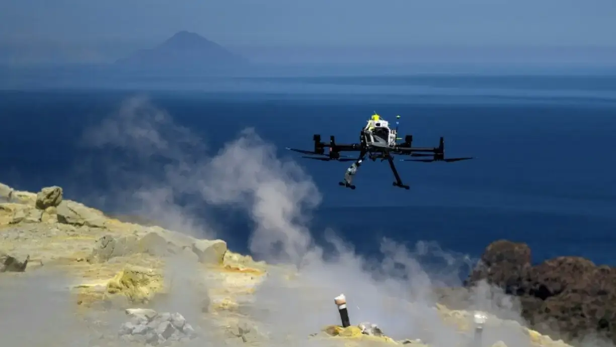
Picture a drone flying a long stretch of coastline, far beyond the operator's line of sight, streaming video while an onboard model flags anomalies in real time. The flight plan is fine. The battery is fine. What decides the outcome is something nobody sees: the radio link that has to pass from cell to cell along the way.
That scenario sits where three trends meet, after years on separate roadmaps. 5G offers enough speed, latency control and security to carry command and control traffic. Drones have become useful enough that connectivity, rather than the airframe, is often the limit. AI-RAN, the idea of putting artificial intelligence inside the radio access network itself, moved in 2026 from conference slides to field trials. So where does the telecom landscape actually stand, and what does it change for anyone who has to keep a moving node connected?
AI-RAN in 2026: from experiment to early deployment
AI-RAN is a radio access network that either runs artificial intelligence workloads, uses AI to run itself, or does both. In 2026 it stopped being a research label. The AI-RAN Alliance, founded in 2024, announced in February that it had reached 132 members and took 33 demonstrations to Mobile World Congress in Barcelona. Its chair described the technology as no longer experimental, which is what a promoting body would say, but the field results shown at the same event gave the claim some weight: AI-enabled 5G calls running on shared GPU infrastructure, and an operator demonstrating how spare radio compute could be rented to outside AI workloads.
The AI-RAN Alliance defines three main architectures (AI for RAN, AI and RAN, AI on RAN), each solving a specific connectivity or compute problem for autonomous drones.
| Direction | What it means | Why it matters for drones |
|---|---|---|
| AI for RAN | AI improves how the radio network performs: beam management, scheduling, energy saving, mobility prediction. | A handover that is predicted before it fails keeps the link alive. |
| AI and RAN | Radio functions and AI workloads share the same computing infrastructure. | Inference can sit next to the radio, on the site itself. |
| AI on RAN | The network hosts AI services that applications use directly. | Video analytics from a drone can be processed without leaving the site. |
What AI-RAN has not solved yet
Most of the evidence so far comes from large public networks, where thousands of sites share the cost of GPU hardware. The Alliance chair himself lists three roadblocks: economics, business model and skills. Who pays for extra compute when a network serves a few hundred devices on a single site? And how much of this design fits into a compact, low-power private network that must be carried in a case and switched on in minutes?
Large-scale AI-RAN answers a capacity and monetisation question for public operators. A private deployment in a port, a quarry or a disaster area has another question to answer, which is predictable performance in one specific place. Those two problems share technology, but they do not share a design.
Why drones are hard for cellular networks
Connecting drones to cellular networks presents two physical challenges. First, base station antennas are tilted downward, for ground users, leaving coverage gaps in the sky. Second, a flying drone is visible to multiple cells simultaneously, causing frequent handovers and network interference. Identifying and authenticating the aircraft adds another layer. Standards have addressed this since 3GPP Release 15, and Release 19 keeps working on integrating drones into mobile networks and service platforms. A standard sets the rules, though. It cannot tell you whether the link holds at the edge of a particular valley.
That is why beyond visual line of sight (BVLOS) operation remains the benchmark. Regulators want proof that cellular connectivity is safe enough to replace a human observer, and research projects, including one in Sweden led by a telecom vendor, exist to produce that proof. Earlier measurements on public LTE networks put command and control reliability between 88.5 and 98.5 percent. Even the best of those figures leaves a 1.5 percent gap. Would you accept it on an aircraft flying over a coastline?
Safe BVLOS operation calls for guaranteed service levels in licensed spectrum. A network designed around the mission can offer that. A network shared with everyone else has a harder time.
At altitude, a drone sees many cells and almost none of them were aimed at the sky.
3GPP Release 20 and the 6G roadmap for drone mobility
3GPP Release 20, started in mid 2025, is the bridge between generations. It completes 5G-Advanced and opens the first formal 6G studies, with its freeze currently estimated for June 2027. On the AI side, it specifies support for compressing channel state information with two-sided models, standardises data collection from devices and studies new mobility use cases for AI in the radio network. Mobility prediction is exactly what a drone needs.
In parallel, a 6G study phase of roughly 21 months, started in the third quarter of 2025, feeds Release 21, where the first 6G specifications are expected, with commercial systems around 2030. Two 6G themes touch drones directly. One is an AI-native air interface. The other is integrated sensing and communication (ISAC), where the network uses its own radio signals to detect objects around it, drones included. Think of a network that can see the drone as well as talk to it, even when the drone's own position report is missing.
How AI-RAN, 5G and network slicing solve drone connectivity
The convergence becomes concrete in three places.
Predicting the next handover
A drone's route is known from the mission plan, yet a conventional network learns about it only when the handover starts. AI for RAN can use that trajectory to prepare the next cell early. The same logic reduces dropped sessions for any fast node, such as a vehicle or a vessel.
Separating control from payload
Command and control traffic needs low and stable latency. A camera payload needs raw throughput. Network slicing lets one infrastructure treat them as two services with separate guarantees, so a video burst never starves the link that steers the aircraft.
Processing close to the source
When video analysis runs next to the radio, the stream does not travel to a distant data centre before it produces an alert. This is the practical meaning of AI and RAN sharing infrastructure.
Why private networks are where it fits together
A private network changes the equation because the party running the mission also runs the network. Coverage can be designed in three dimensions around the area where the drone actually flies, antennas can be placed with the aircraft in mind, and spectrum is dedicated to the mission.
SMA-RTY's NGCI (Next-Generation Communication Infrastructure) follows this logic. It is a standalone 5G network, an island that depends on no external operator, compact enough to fit in a carry-on-size case and deployable in minutes. There is no catalogue to choose from: each deployment starts from a study of the client's use case, and the configuration is then developed ad hoc around it. Where the area is too wide or too broken for a single site, Integrated Access and Backhaul (IAB) lets nodes relay traffic wirelessly. We explain how it works in our IAB explainer on access and backhaul.
Key terminology
BVLOS (Beyond Visual Line of Sight): operations where the drone flies beyond the pilot's visual range, requiring autonomous control systems and reliable communication networks.
ISAC (Integrated Sensing and Communication): technology anticipated in 6G where the network uses radio signals to detect surrounding objects, effectively operating as a simultaneous radar and communication system.
4 use cases for private 5G and AI-RAN convergence
- Coastal and maritime monitoring. Sea reflections and the absence of terrestrial sites make connectivity harder than inland. SMA-RTY's MTCOM work, an architecture for drone management in coastal surveillance, addresses interference caused by the sea and supports several slices on one network.
- Civil protection after a disaster. When public coverage is down or overloaded, a deployable network gives rescue teams and survey drones a shared link within minutes, with video analysed on site.
- Large industrial sites. Plants, ports and logistics yards use drones for inspection while the same network serves cameras and vehicles. Slicing keeps drone control from competing with video.
- Public safety and security operations. Some missions take place where commercial coverage cannot be assumed, and a self-contained network removes that dependency.
What to watch next
Three open points will show how fast the threads converge: how the first Release 21 work items take shape, whether AI-RAN results from large operator sites can be reproduced on small footprints, and whether aviation authorities accept measured cellular performance as part of BVLOS approvals.